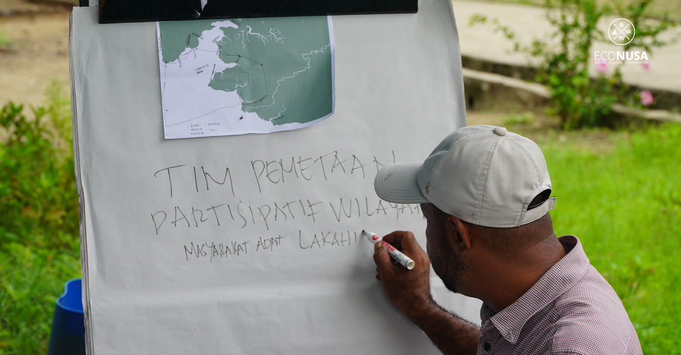
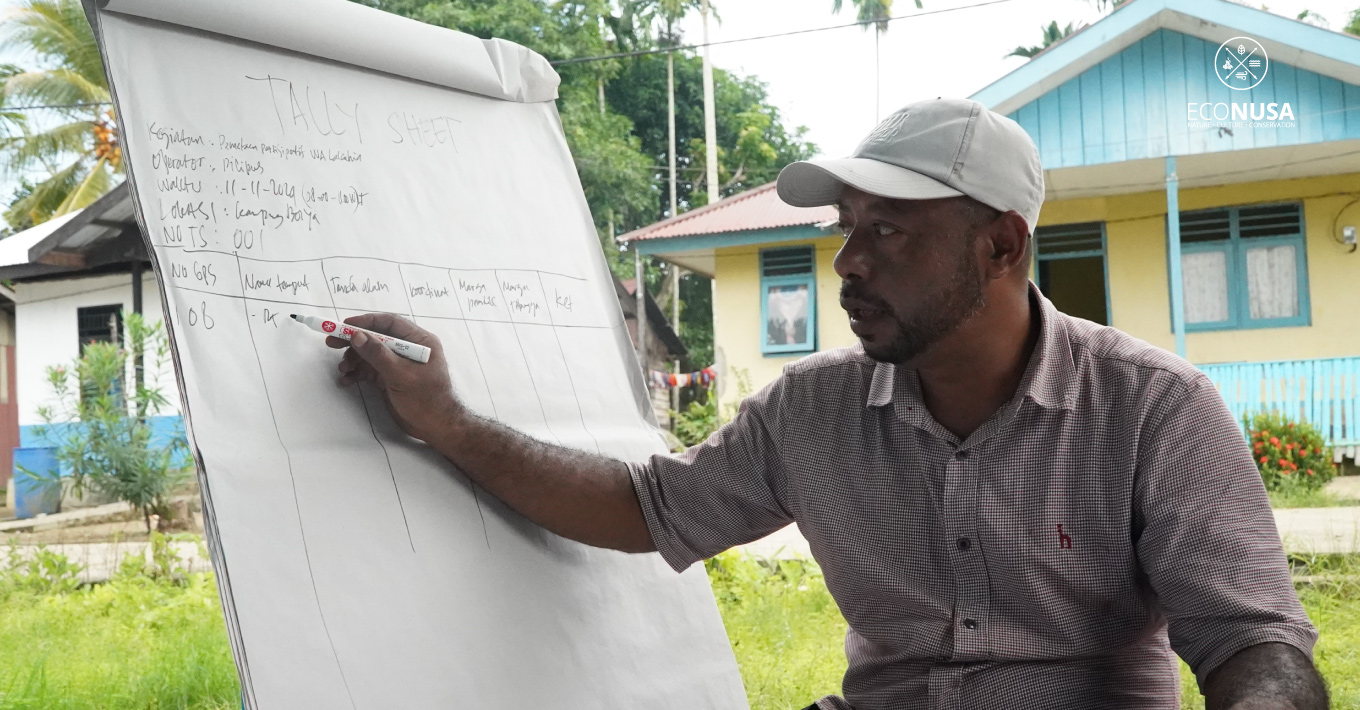
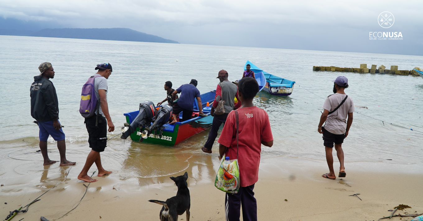
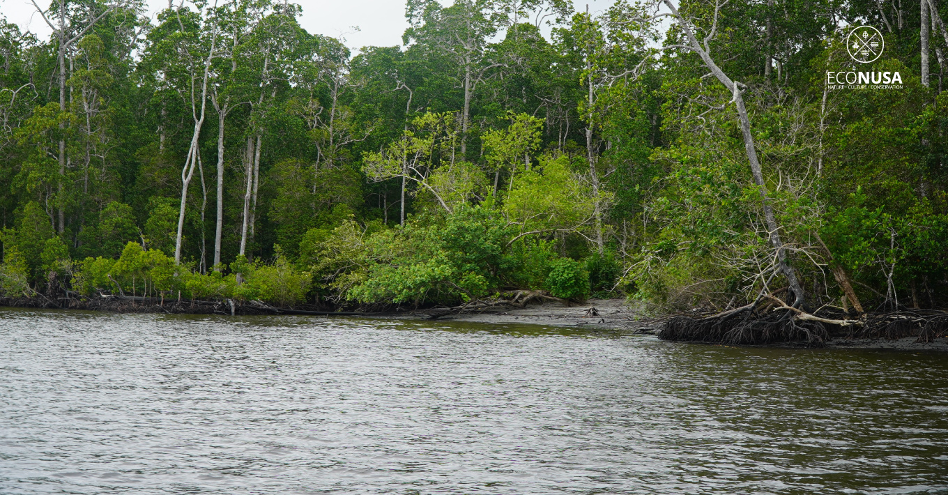
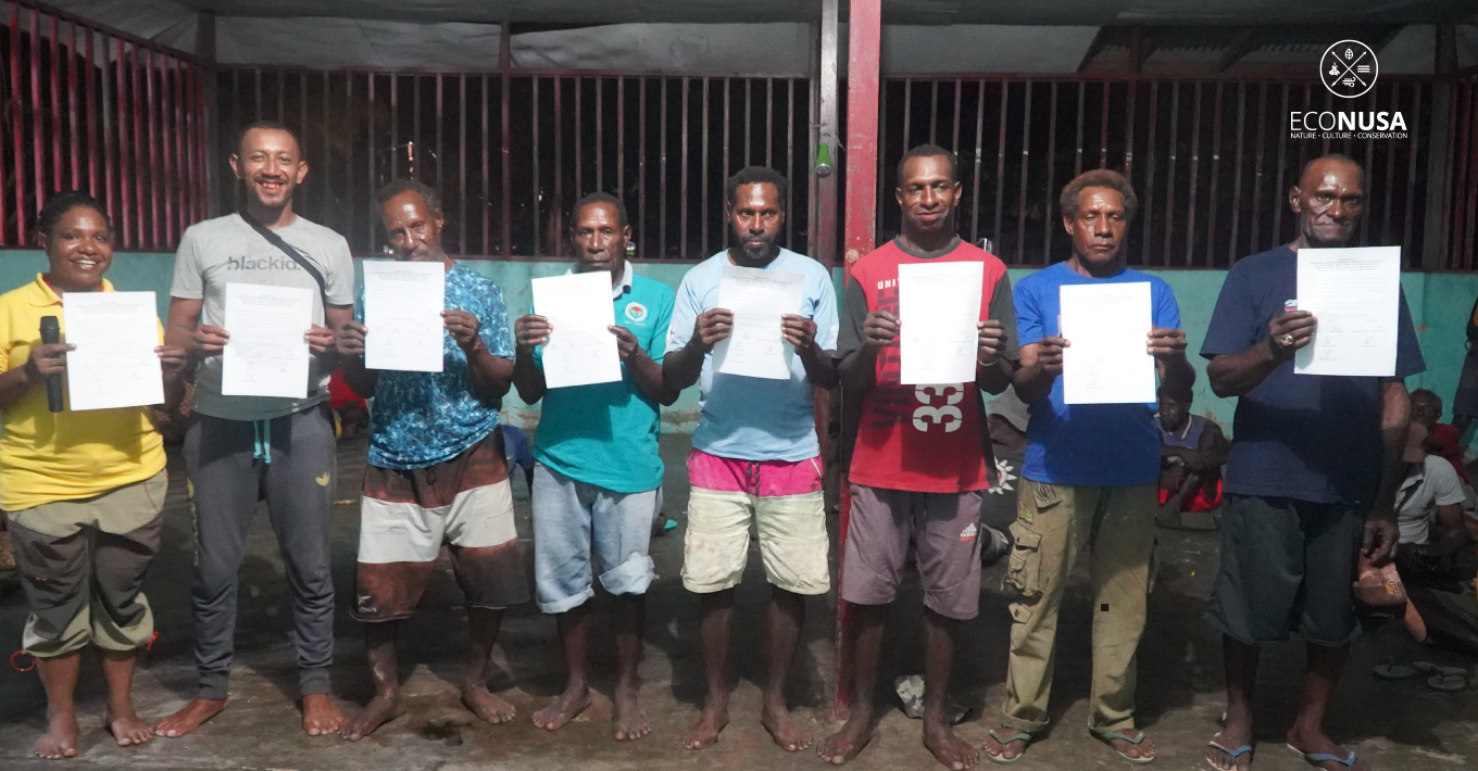
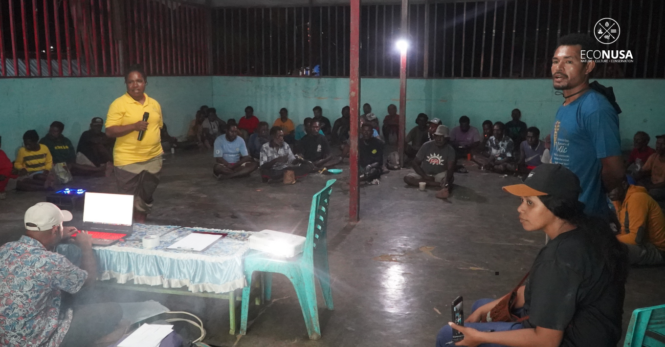
The community of Lakahia Island, Teluk Etna District, Kaimana, recognizes the importance of securing recognition for their customary territories as part of their efforts to conserve natural resources. Together with the Econusa Foundation, they have agreed to engage in participatory mapping to safeguard their ancestral lands and prevent potential conflicts.
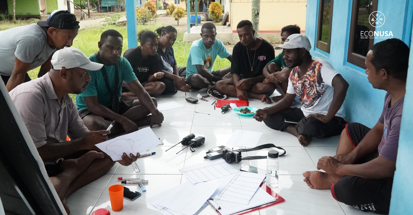
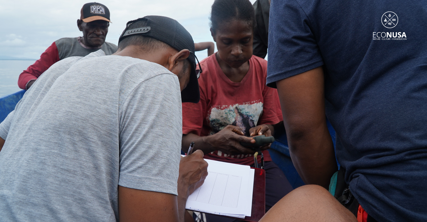
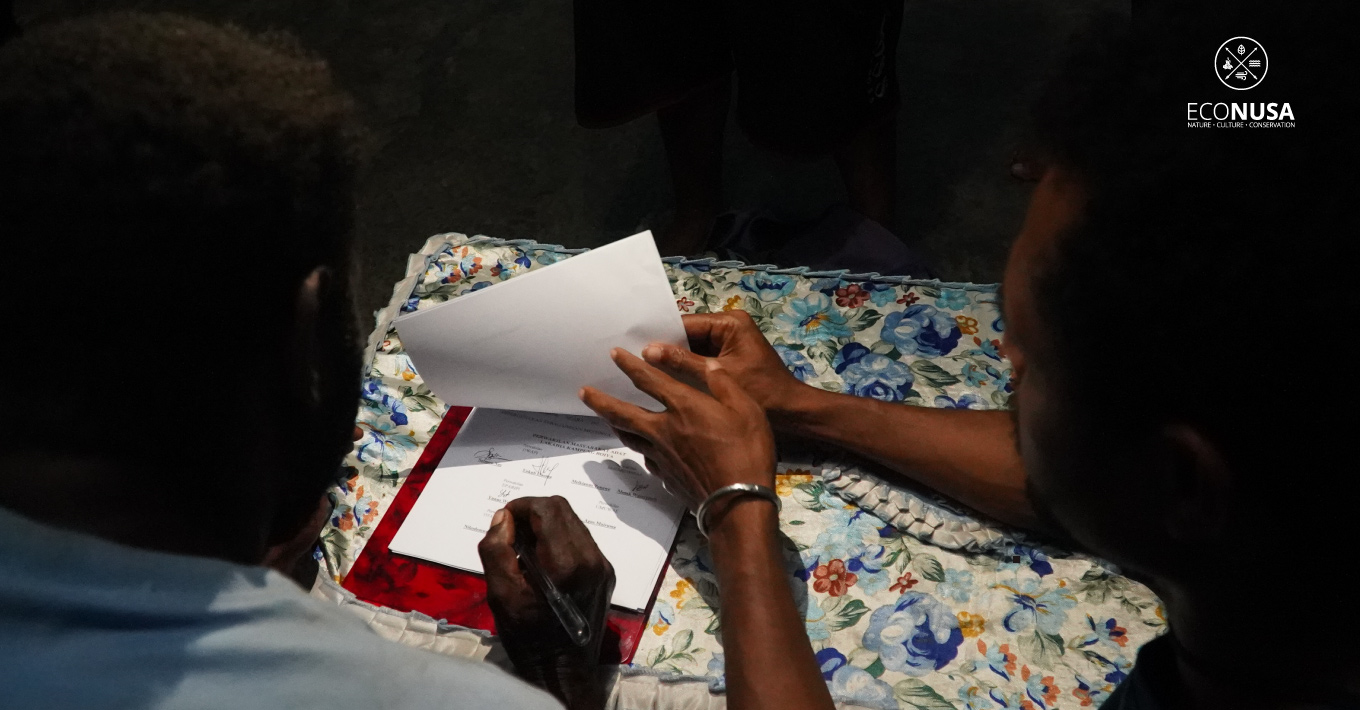
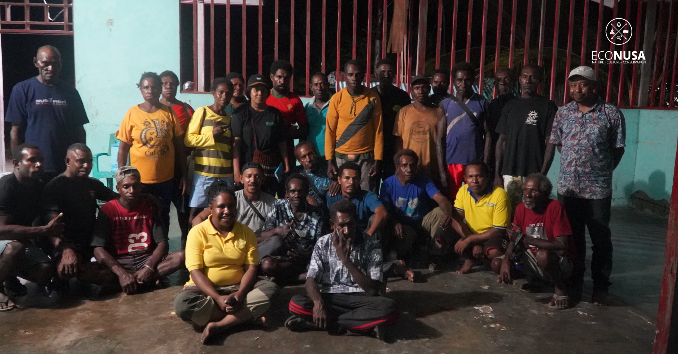
On June 9, 2024, the Econusa Foundation initiated the Free, Prior, and Informed Consent (FPIC) process with five sub-clan groups of Lakahia: Owapi, Motarimarra, Umuwae, Eparipi, and Otaripiti. The indigenous community committed to mapping their customary territories comprehensively, both on land and in the sea, as an initial step towards protecting their territories.
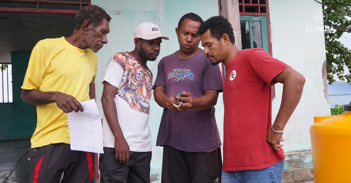
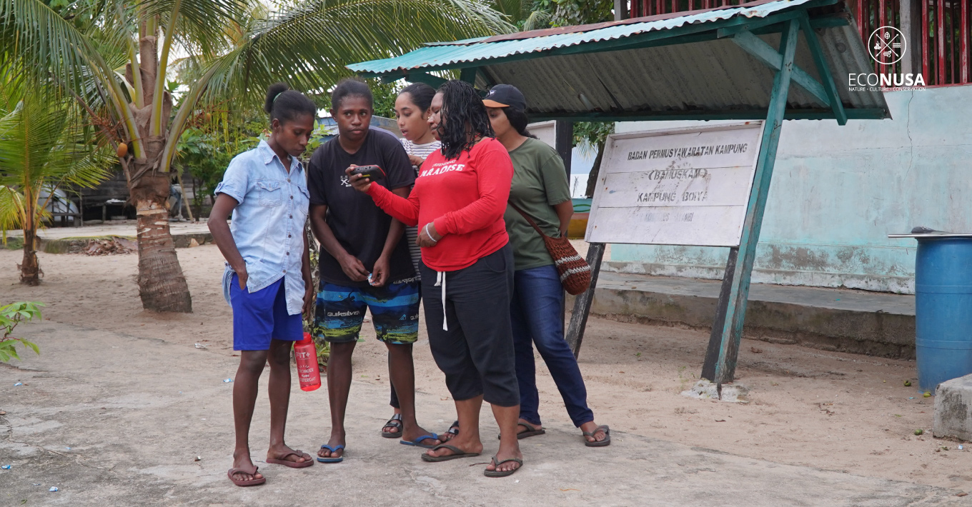
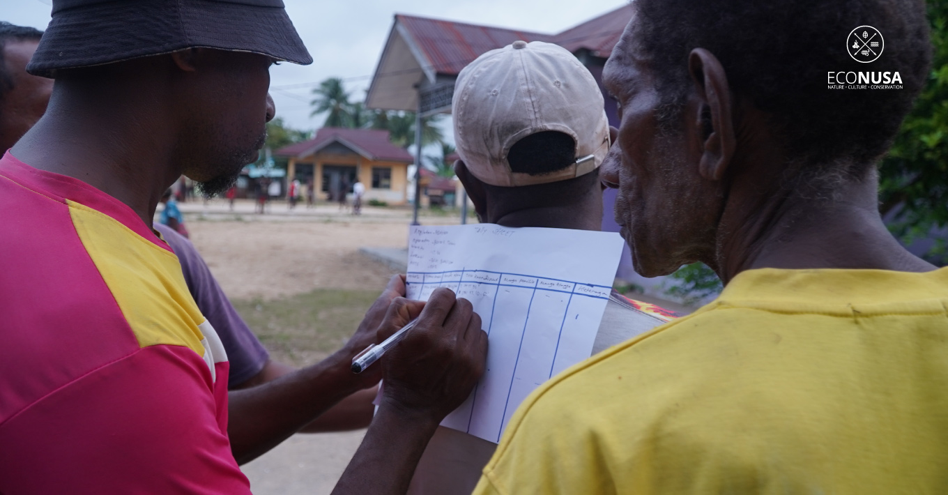
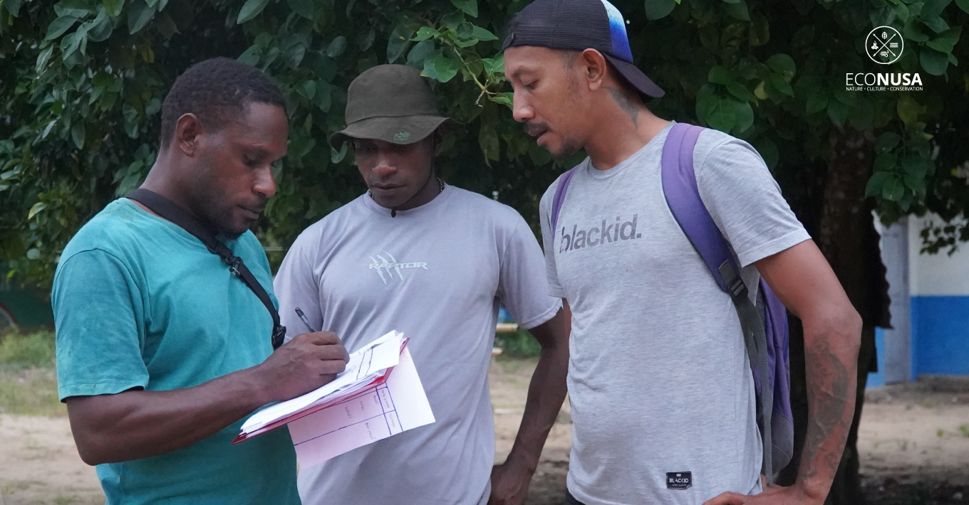
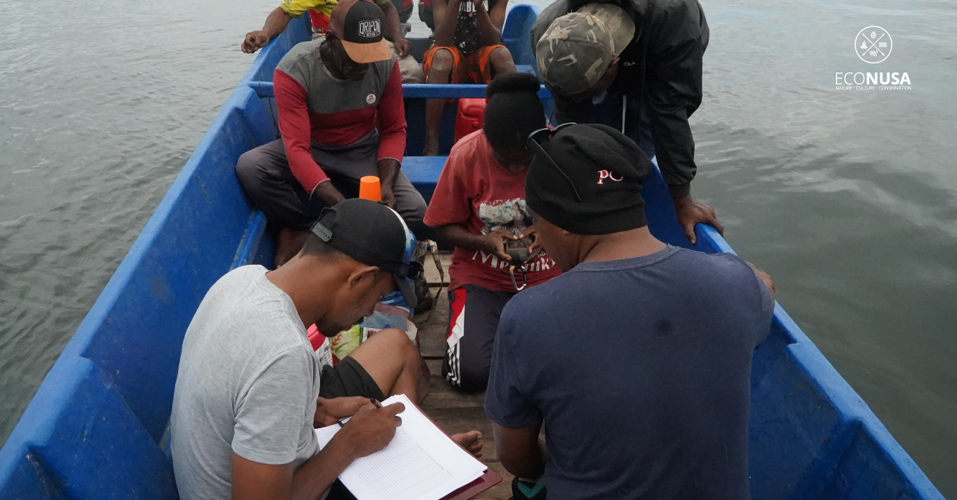
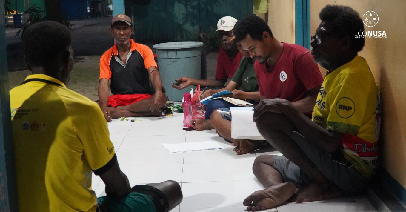
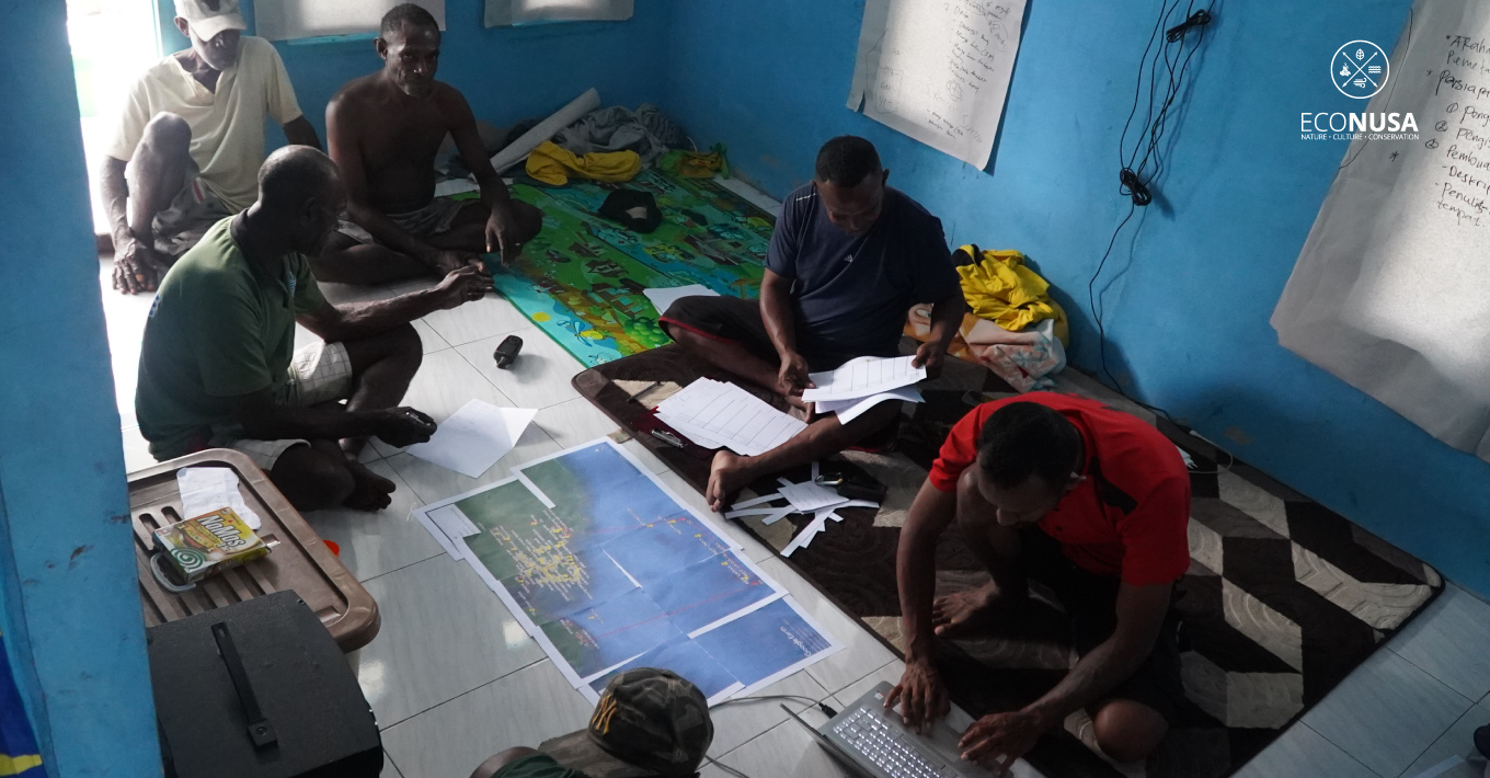
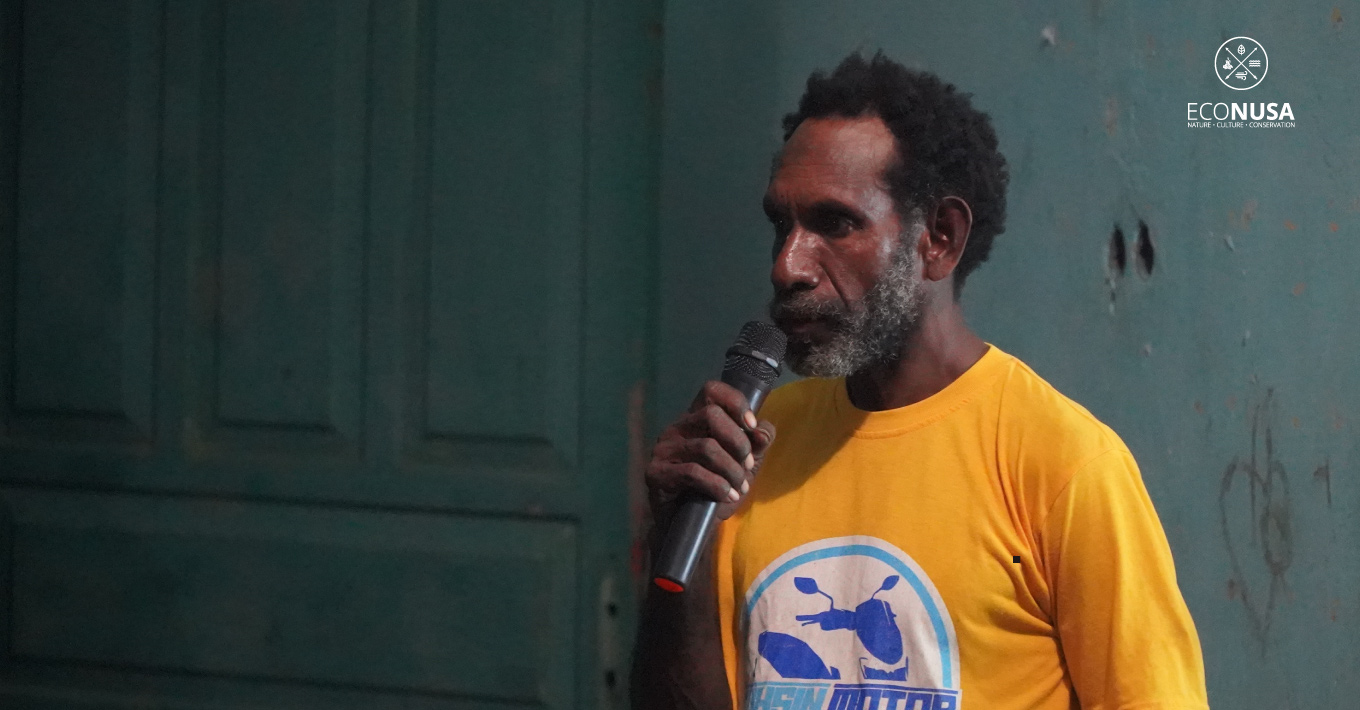
Mapping teams were formed from each clan, involving local social and spatial teams actively working from June 10 to 24, 2024. Neighboring clans also participated in determining agreed-upon territorial boundaries. A customary assembly will convene to approve the mapped outcomes.


